Lower Austria live

Discover the Austrian federal state live with the webcams! Lower Austria impresses with its cultural diversity and stunning landscapes: In summer, fantastic hiking trails in the Alps, cycling tours along the Danube and refreshing bathing lakes await you - ideal for nature lovers and families. Experience cultural highlights such as Melk Abbey or pleasure tours along the wine routes in the Wachau. In winter, regions such as the Semmering, Annaberg or Hochkar are transformed into true paradises for skiing, snowboarding and winter hiking. The webcams show you the current weather conditions and provide valuable forecasts for your excursion planning. Take a look - and look forward to real vacation moments in one of Austria's most diverse regions!
Top webcams in Lower Austria
The federal state of Lower Austria

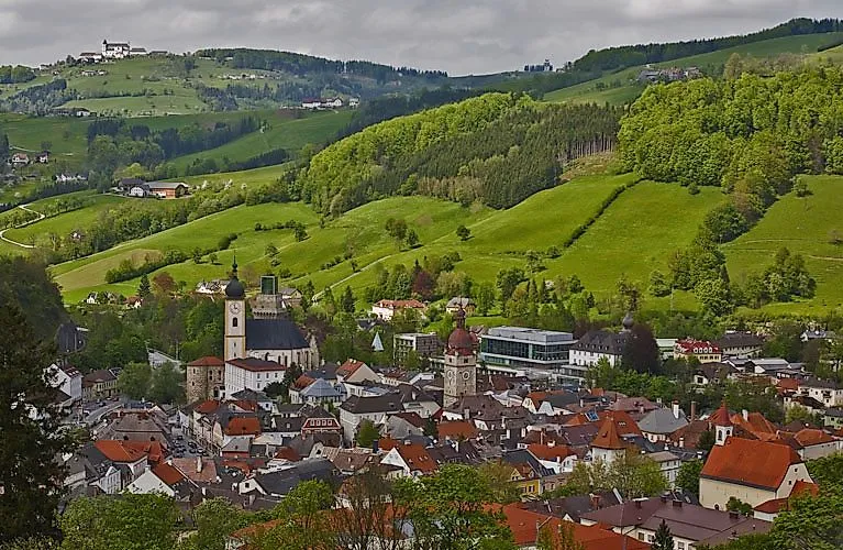
Lower Austria is located in the north-east of Austria and, at 19,177.78 km², is the country's largest federal state in terms of area. It surrounds the capital Vienna and borders the Czech Republic, Slovakia and the federal states of Upper Austria, Styria and Burgenland. The state capital is St. Pölten - a modern city with a historic center and a diverse cultural offering. The region impresses with its variety of landscapes: from the Alps in the south to the Danube valley and the rolling hills of the Waldviertel and Weinviertel in the north. Lower Austria is easily accessible and ideal for day trips as well as longer vacations. Whether nature, culture or culinary delights - here you will find everything in the immediate vicinity. Discover the origins of the genuine Austrian way of life with the webcams, just a stone's throw away from Vienna!
Summer vacation in Lower Austria

Experience an active summer in Lower Austria! Whether hiking in the Ybbstal Alps or the Viennese Alps, cycling along the Thermenradweg or climbing in the climbing gyms in St. Pölten - the region offers a wide range of opportunities for sports enthusiasts. Refresh yourself in the numerous bathing lakes such as the Ratzersdorfer See or the Sole Felsen Bad in Gmünd. For the adventurous, there are archery facilities, golf courses and riding opportunities.
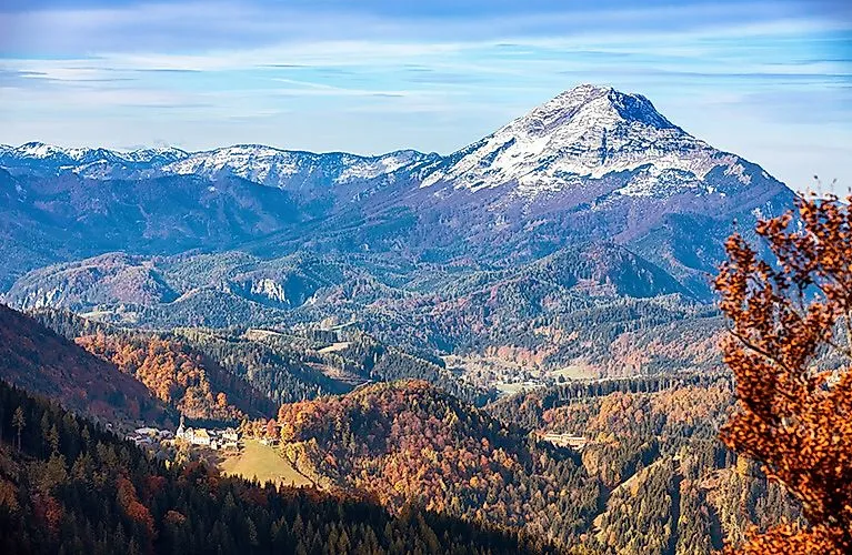
Hiking in Lower Austria is an experience for nature lovers and active vacationers, especially in the regions of Göstling, Lackenhof and Annaberg. In Göstling an der Ybbs you can expect fantastic alpine pastures, the Hochkar with panoramic views and varied hiking trails - also ideal for mountain biking. Lackenhof am Ötscher offers family-friendly routes, the spectacular Ötschergräben trail and challenging tours for sporty hikers. Annaberg delights with the Tirolerkogel, picturesque forest paths and well-marked trails. Let the webcams in Lower Austria inspire you with the diversity of the province.
Enjoyment and culture in Lower Austria

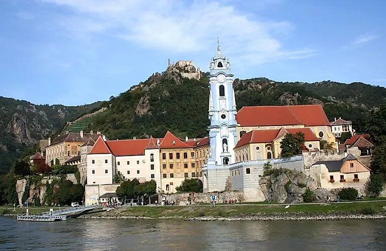
Lower Austria delights visitors with its culinary diversity and rich cultural offerings. Historic buildings and picturesque river landscapes, above all the Wachau, are among the outstanding features of Lower Austria. The UNESCO World Heritage Site Wachau captivates visitors with its unique landscape along the Danube, characterized by steep wine terraces, medieval castles and charming villages such as Dürnstein or Melk.
The regional cuisine combines tradition and innovation: whether Wachau apricots, Waldviertel poppy seed noodles or Marchfeld asparagus - enjoyment is a top priority here. Wine lovers appreciate the excellent wines and authentic tavern culture. Culturally, the region offers modern festivals, historic castles and museums. Highlights include the Danube Festival in Krems, the State Gallery of Lower Austria and the Krems Caricature Museum. The Lower Austria Theater Festival transforms the entire province into a stage throughout the summer.
Winter fun in Lower Austria

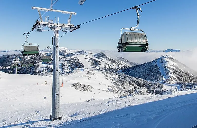
Lower Austria offers a wide range of activities for sports enthusiasts and those seeking relaxation in winter . Whether skiing, snowboarding, cross-country skiing or snowshoeing - there is something for everyone here. The ski areas such as Hochkar, Lackenhof am Ötscher, Gemeindealpe Mitterbach and Annaberg are characterized by well-groomed slopes and family-friendly offers. With the live cams, you can easily check the weather conditions and open lifts in the ski areas and plan your ski day. Cross-country skiers have numerous trails to choose from and snowshoe hikers will find ideal conditions in regions such as the Rax or the Muckenkogel. The taster days for ski touring and snowshoeing are also particularly popular, where beginners can get to know the sports under professional guidance. In the evening, offers such as night skiing and night tobogganing provide additional fun. Just check the weather on the webcam and off you go!


